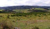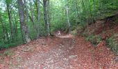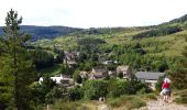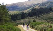

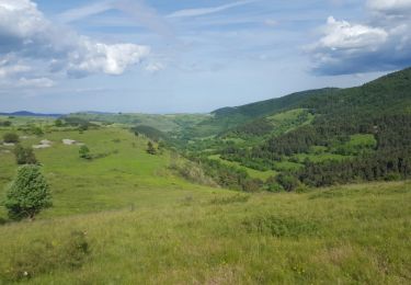
GR_70_AG_07_Mont-Lozere-Goulet_Cubieres_20140921

patrickdanilo
User

Length
19.8 km

Max alt
1418 m

Uphill gradient
802 m

Km-Effort
30 km

Min alt
1063 m

Downhill gradient
538 m
Boucle
No
Creation date :
2018-02-11 00:00:00.0
Updated on :
2022-11-02 14:53:14.379
6h12
Difficulty : Very difficult

FREE GPS app for hiking
About
Trail Walking of 19.8 km to be discovered at Occitania, Lozère, Mont Lozère et Goulet. This trail is proposed by patrickdanilo.
Description
Randonnée Marche de 19 km à découvrir à Mont Lozère et Goulet, Lozère, Occitanie. Cette randonnée est proposée par patrickdanilo
Positioning
Country:
France
Region :
Occitania
Department/Province :
Lozère
Municipality :
Mont Lozère et Goulet
Location:
Chasseradès
Start:(Dec)
Start:(UTM)
563794 ; 4932342 (31T) N.
Comments
Trails nearby
12-05-2023 E7 Bonnetés - Le Pont de Monvers


Walking
Difficult
Mont Lozère et Goulet,
Occitania,
Lozère,
France

25 km | 35 km-effort
7h 59min
No
Stevenson étape 7


Walking
Difficult
Mont Lozère et Goulet,
Occitania,
Lozère,
France

20 km | 28 km-effort
4h 57min
No
Stevenson Chasseradès - Le Bleymard


Walking
Very difficult
Mont Lozère et Goulet,
Occitania,
Lozère,
France

21 km | 29 km-effort
5h 4min
No
le Bleymard


Walking
Very difficult
Mont Lozère et Goulet,
Occitania,
Lozère,
France

17.3 km | 25 km-effort
5h 14min
No
Chasserades Bleymard


Walking
Difficult
Mont Lozère et Goulet,
Occitania,
Lozère,
France

20 km | 28 km-effort
6h 57min
No
arsel chasserades au bleymard


Walking
Very easy
Mont Lozère et Goulet,
Occitania,
Lozère,
France

14.1 km | 21 km-effort
6h 14min
No
Chasserades Finiels 2020


Mountain bike
Difficult
Mont Lozère et Goulet,
Occitania,
Lozère,
France

48 km | 67 km-effort
5h 36min
No
E7 Les Alpiers - Pont de Montvert GR70


Walking
Difficult
Cubières,
Occitania,
Lozère,
France

24 km | 34 km-effort
6h 20min
No
Chasserades -Station Mont Lozère Stevenson


Walking
Difficult
(1)
Mont Lozère et Goulet,
Occitania,
Lozère,
France

25 km | 37 km-effort
7h 47min
No


 SityTrail


